What happens to the data? How is it used? Are there any missed opportunities?
The data collected in this project is being used to train a machine learning algorithm to automatically analyze thermal images and collect relevant data on wildlife. Each image is viewed by multiple volunteers to ensure tags are accurate, and once an image has been sufficiently viewed and tagged with concurring tags, it will be fed into the machine learning algorithm. I don’t see any obvious missed opportunities for the data usage, as the researchers are already planning to expand how the data is used as the algorithm is refined.
Are there aspects of the project that you think could be problematic or would change?
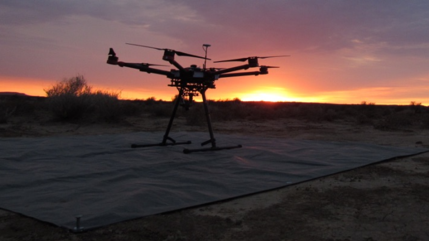
As we have discussed in class, the use of drones always brings the risk of disturbing wildlife, whether through noise, physical crashes, or any other means you could think of. In an FAQ on the Zooniverse page for this project, the researchers acknowledge this risk, but state that most animals are only bothered the first time they see or hear the drone and quickly adapt when they realize the drone does not pose a threat. In addition, the researchers highlight that most responses they have seen are relatively minor (elephants briefly clumping up, monkeys temporarily dropping down to lower branches).
Are there aspects of the project that you think are innovative or clever?
I think the most innovative aspect is the use of machine learning algorithms developed for astrophysics in a conservation setting. Thermal imagery has long been used in conservation to detect species at night or in heavily forested areas, but the addition of automated image analysis will allow for closer to real-time views of wildlife. These real-time views can be particularly helpful when it comes to detecting poaching. To me, this project is a great example of how very different branches of science can work together to produce important results.
How have the results been shared (or will they be shared)? Is the focus of the project on communicating with other scientists? The public? Both?
This project was started in early 2017, with the publication of a proof of concept paper. Since then, there have only been a couple of papers published (mostly of pilot studies or optimizations of the technology), as much of the work has presumably focused on getting the project up and running. From what I can gather on the project’s website, the focus will be using this image analysis to provide relevant information to both researchers and park rangers to allow for maximum protection of the animals. There does not presently seem to be a significant focus on outreach to the general public by the researchers directly.
Sources:
Longmore, S. N., et al. “Adapting astronomical source detection software to help detect animals in thermal images obtained by unmanned aerial systems.” International Journal of Remote Sensing38.8-10 (2017): 2623-2638.
Burke, Claire, et al. “Optimizing observing strategies for monitoring animals using drone-mounted thermal infrared cameras.” International Journal of Remote Sensing 40.2 (2019): 439-467.
Burke, Claire, et al. “Addressing environmental and atmospheric challenges for capturing high-precision thermal infrared data in the field of astro-ecology.” High Energy, Optical, and Infrared Detectors for Astronomy VIII. Vol. 10709. International Society for Optics and Photonics, 2018.
 Astro-Ecology Citizen Science Project