Why does this project exist?
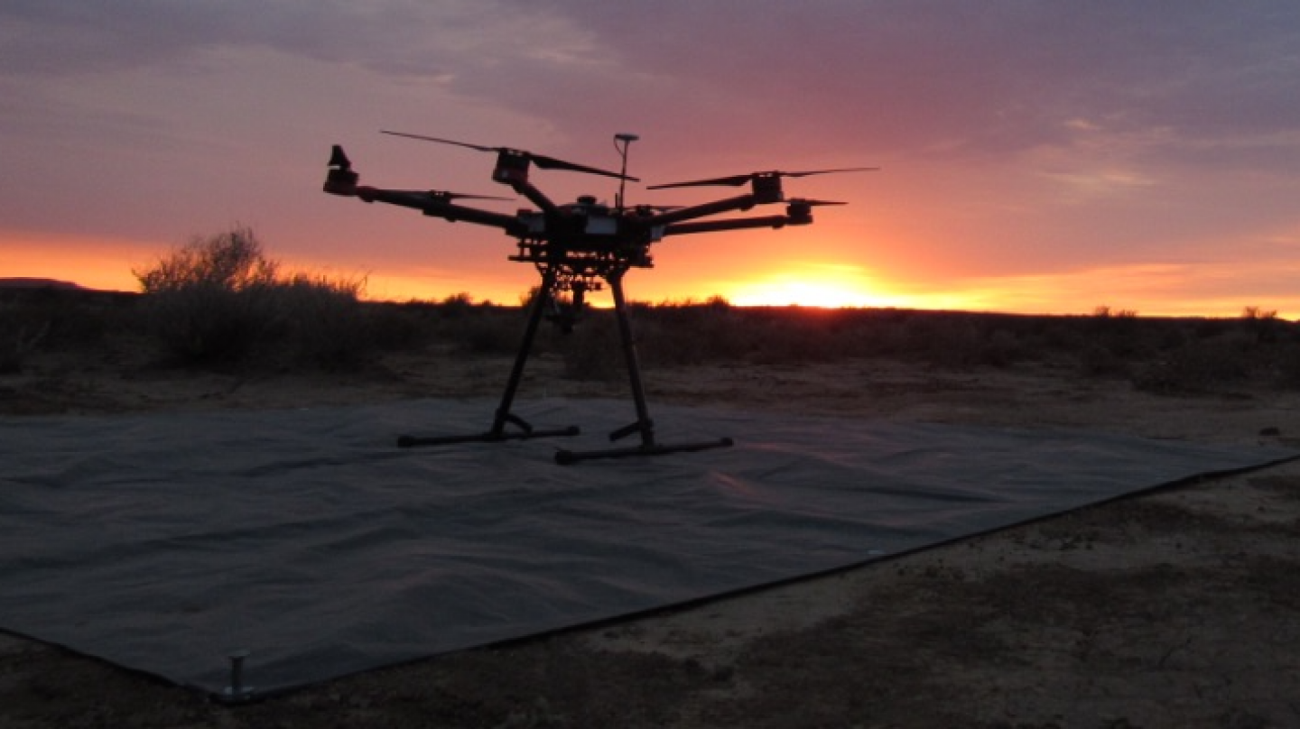
Many endangered species live in remote, difficult to reach areas. As such, it can be difficult to reach them when members of the species are injured or become ill. This remoteness can also make it easier for poachers to hunt species without being detected by the authorities. This project aims to use thermal image analysis techniques developed for astrophysics to identify species and detect injury, illness, or poaching via a network of drones. This information can be gathered and used to direct rescue or enforcement efforts.
Who is running this project?
This project is run through the Astrophysics Research Institute at Liverpool John Moores University. The project’s website can be found here.
What am I doing in this project?
The net goal of this research project is to use machine learning to analyze thermal images taken by a fleet of drones. However, in order to train the machine learning algorithm, it needs to be given images where different species have been correctly identified. My role is looking at drone images and tagging the different species present in the image. Each image is viewed by a plurality of participants to ensure accurate tagging.
What are the conservation threats this project aims to address?
We’ve learned in class that a key part of conservation efforts is surveying an ecosystem and learning what species live there and how they are distributed. This project aims to reduce the costs and increase the efficiency of those surveys by automating much of the process, allowing researchers to analyze a greater area (Longmore et al. 2017).
One of the key threats this project aims to address is poaching. Traditional efforts to detect poaching in real-time have been limited by factors such as geographic and optical range of the detector, cost of operating the detector, or inability to disguise the detector well enough to prevent discovery by the poachers (Kamminga et al. 2018). This project aims to address the threat through the use of infrared sensing drones. Since most poaching occurs at night, these drones are still able to see poachers while remaining at a distance of several hundred feet to prevent risk of poachers destroying the drones (Burke et al. 2018). This system enables real time detection of poachers with limited downsides. In addition there is ongoing research to optimize the drones’ effectiveness.
Sources:
Longmore, S. N., et al. “Adapting astronomical source detection software to help detect animals in thermal images obtained by unmanned aerial systems.” International Journal of Remote Sensing38.8-10 (2017): 2623-2638.
Kamminga, Jacob, et al. “Poaching detection technologies—a survey.” Sensors 18.5 (2018): 1474.
Burke, Claire, et al. “Addressing environmental and atmospheric challenges for capturing high-precision thermal infrared data in the field of astro-ecology.” High Energy, Optical, and Infrared Detectors for Astronomy VIII. Vol. 10709. International Society for Optics and Photonics, 2018.
 Astro-Ecology Citizen Science Project